🌍 Your knowledge portal
historia

2,500-Year-Old Lost Cities Revealed by Laser in the Amazon: Science Study Rewrites Human History

📅 2026-11-01⏱️ 9 min read📝
2,500-Year-Old Lost Cities Revealed by Laser in the Amazon: Science Study Rewrites Human History
2,500-Year-Old Lost Cities Revealed by Laser in the Amazon: Science Study Rewrites Human History — High-Fidelity Artistic Illustration created by artificial intelligence based on scientific research.
⚡

Quick Summary

Airborne LiDAR mapping and CNRS excavations in the Upano Valley reveal the oldest and densest pre-Hispanic urban garden network in the Amazon rainforest. Beneath the dense canopy of the Ecuadorian Upper Amazon, a monumental network of 2,500-year-old pre-Hispanic cities has been comprehensively mapped, revealing the oldest and most extensive system of agrarian urbanism ever documented in South America.

Key Takeaways:

  • Throughout the greater part of the twentieth century, South American archaeology was dominated by the theory of "environmental determinism," most prominently championed by American researcher Betty Meggers of the Smithsonian…
  • The transformative methodological breakthrough arrived when an international scientific consortium deployed specialized aircraft equipped with airborne light detection and ranging (LiDAR) sensors.
  • The monumental architecture of the Upano Valley is fundamentally grounded in the masterful manipulation of rammed volcanic earth and clay.

Beneath the dense canopy of the Ecuadorian Upper Amazon, a monumental network of 2,500-year-old pre-Hispanic cities has been comprehensively mapped, revealing the oldest and most extensive system of agrarian urbanism ever documented in South America. The landmark research, led by senior archaeologist Dr. Stéphen Rostain from the CNRS (Centre National de la Recherche Scientifique) and published in the prestigious journal Science, utilized airborne light detection and ranging (LiDAR) to strip away 300 square kilometers of jungle over the Upano Valley. Computational analyses combined with decades of stratigraphic excavations have brought to light more than 6,000 rectangular earthen platforms, civic plazas, and an expansive network of sunken roadways that housed between 10,000 and 30,000 people from 500 BC to 600 AD.

  • 📌 Ancient Amazonian Metropolis: Over 6,000 monumental earthen platforms and 15 dense urban centers were erected and occupied for more than a millennium on the eastern Andean slopes.
  • 🔬 Road Engineering & Drainage: Sunken causeways up to 10 meters wide and 25 kilometers long connected civic centers to extensive drained agricultural field systems.
  • 💡 Definitive Paradigm Shift: The discovery shatters the Eurocentric myth of the Amazon as an empty, untamed wilderness, revealing garden urbanism contemporary with Ancient Rome and the early Maya.
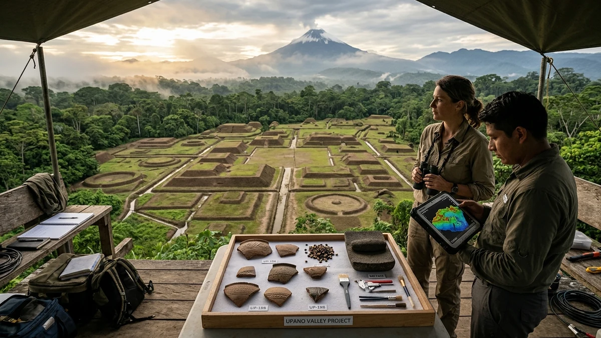
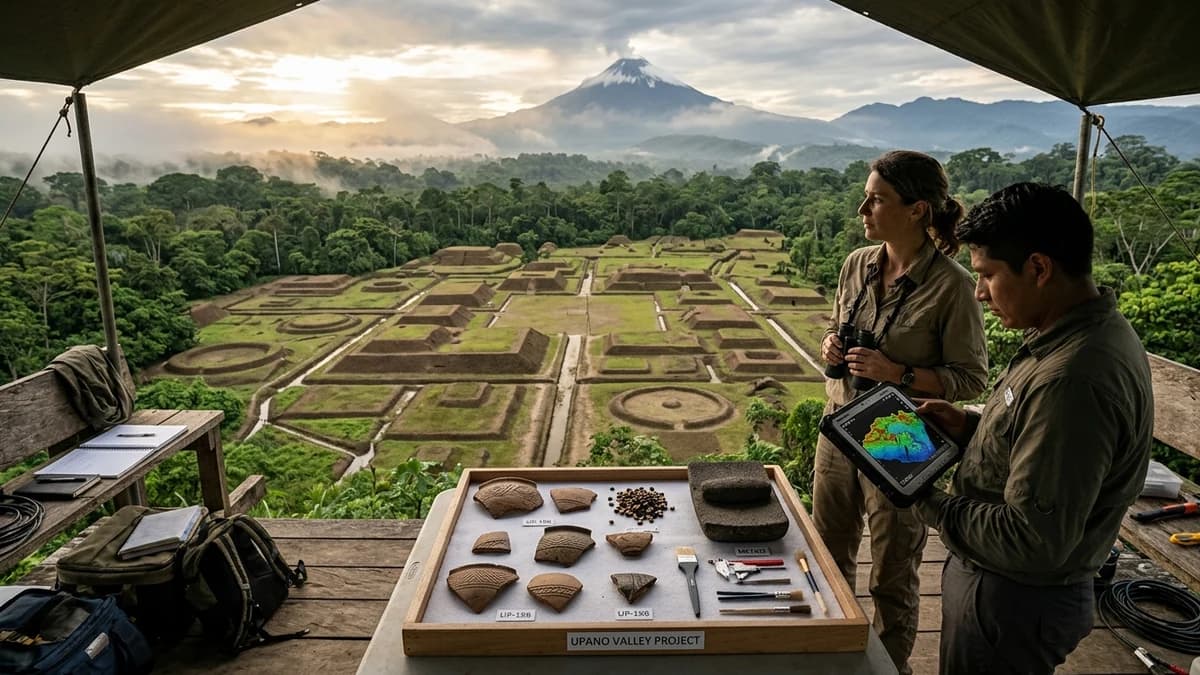
2,500-Year-Old Lost Cities in the Upano Valley

High-fidelity artistic illustration: recreation of the 2,500-year-old pre-Hispanic urban network in the Upano Valley (Ecuadorian Amazon), mapped by airborne LiDAR technology and CNRS excavations. Created by Artificial Intelligence.


The Historical Enigma: The Myth of the Untouched Wilderness Collapses #

Throughout the greater part of the twentieth century, South American archaeology was dominated by the theory of "environmental determinism," most prominently championed by American researcher Betty Meggers of the Smithsonian Institution. According to this traditional theoretical framework, the Amazon basin was an ecological counterfeit paradise characterized by weathered, highly acidic soils rapidly depleted by torrential tropical rains. Scholars argued adamantly that such nutrient-poor terrain was biologically incapable of supporting intensive, sedentary agriculture on a massive scale.
As a direct consequence of this academic dogma, textbooks across the globe perpetuated the belief that the rainforest had always been an impenetrable refuge reserved exclusively for small nomadic bands of hunters and foragers. It was deemed impossible that the humid tropics could have nurtured complex urban concentrations without exhausting their vital resources. Yet, tantalizing traces of geometric earthen mounds scattered across Ecuador's Morona-Santiago province continued to baffle observant field investigators.

Archaeologist Stéphen Rostain initiated his first ground surveys in the Upano Valley more than three decades ago, trekking beneath the dense forest canopy and clearing transects with machetes. His stratigraphic trenches revealed successive layers of decorated ceramics, baked-clay floors, and thousands of charred maize kernels. However, what was sorely lacking was an optical tool powerful enough to pierce the impenetrable barrier of tropical vegetation and reveal the integrated regional blueprint of this forgotten world.


LiDAR Technology: The Laser Beam That Stripped the Rainforest #

The transformative methodological breakthrough arrived when an international scientific consortium deployed specialized aircraft equipped with airborne light detection and ranging (LiDAR) sensors. The optical instrument fires hundreds of thousands of infrared laser light pulses every single second toward the canopy below. While most beams are blocked by dense vegetation, a tiny fraction slips through minute gaps between leaves and branches to bounce off the bare ground.

Onboard detectors recorded the exact round-trip travel time of every reflected photon with millimeter precision. Using geospatial software and advanced computational algorithms, scientists digitally stripped away all vegetative biomass from the raw three-dimensional point clouds. The resulting digital elevation model produced a crystalline view of the underlying topography, as though the entire Amazon jungle had vanished in an instant.

Across computer monitors at the CNRS laboratory, the rugged topography of the valley instantly transformed into a sprawling, meticulously planned orthogonal landscape. Isolated geometric mounds, which on the ground appeared as natural knolls choked with climbing vines, revealed themselves as civic and pyramidal platforms grouped symmetrically around central plazas. Flanking these residential compounds were dead-straight roadways cut into the volcanic soil, irrigation canals, and contoured agricultural terracing.

Read Also on Mundo Incrível

2,500-Year-Old Tetelihtic Solar Observatory Discovered in Mexico

Read Article ➔

Anatomy of the Metropolis: Earthen Mounds, Plazas, and Monumental Roads #

The monumental architecture of the Upano Valley is fundamentally grounded in the masterful manipulation of rammed volcanic earth and clay. Because structural building stone was scarce along the river's alluvial floodplain, pre-Columbian builders excavated fertile clay and packed it into timber frameworks to raise flat-topped rectangular mounds. These platforms averaged roughly 20 meters in length by 10 meters in width, rising two to three meters above the surrounding terrain.

The earthen structures were arranged in disciplined clusters of three to six mounds organized around a level, open central courtyard. Stratigraphic excavations confirmed that the summits of these mounds supported long residential houses fashioned from timber, cane, and thatched palm fronds, complete with domestic cooking hearths, ceramic vessels, and sleeping mats. By elevating their living quarters, the ancient inhabitants protected themselves from excessive ground moisture and seasonal flash floods.

The most astonishing engineering achievement of the culture is the vast road network that unified the regional settlements. Rather than building elevated cobblestone highways, Upano engineers dug deep, straight trenches directly into the terrain to form sunken roadways known as vias hundidas. These avenues reached up to ten meters in width and three meters in depth, slicing in straight lines across valleys and ridges for more than 25 continuous kilometers.


Technical Table: Archaeological and Physical Parameters of the Upano Valley #

The scale of anthropogenic landscape modification documented by Stéphen Rostain's multidisciplinary team is demonstrated by the empirical archaeological metrics:

Technical / Structural Parameter Measured Archaeological Data Archaeological and Methodological Significance
Total Area Mapped by LiDAR 300 contiguous square kilometers Largest high-density regional geospatial survey ever performed in western Amazonia.
Documented Earthen Platforms Over 6,000 distinct mounds Evidence of millions of cubic meters of earth moved through sustained collective labor.
Average Platform Dimensions 20m length x 10m width (2-3m high) Standardized base for extended-family residential lodges and raised grain granaries.
Largest Identified Structure 140m length x 40m width x 8m height Monumental central platform at the civic-ceremonial core of Kunguints.
Extent of Road Network Over 25 km of surveyed roadways Sunken linear causeways (vias hundidas) connecting separate settlements across rivers.
Primary Period of Occupation 500 BC to 600 AD (1,100 years) Kilamope and Upano cultures flourishing alongside Imperial Rome and early Teotihuacán.
Estimated Population Density 10,000 to 30,000+ inhabitants Demographically comparable to early Classic Maya centers in Mesoamerica.
Subsequent Cultural Horizon Huapula Culture (800–1200 AD) Later reoccupation of the earthen complexes for funerary burials and seasonal camps.

Garden Urbanism and the Fertile Influence of Sangay Volcano #

The spatial configuration of the Upano Valley challenges Western conceptions of dense, walled fortress cities, embodying what archaeologists categorize as "garden urbanism." Instead of crowded stone streets and adjoining stone masonry, civic complexes alternated harmoniously with expansive belts of managed agricultural fields. Around every mound cluster, LiDAR scans uncovered regular checkerboards of field drainage canals and raised garden beds designed to shed standing water and keep crops well-aerated.

The unique geology of the region exerted a decisive influence on the agricultural productivity of this Andean-Amazonian ecotone. The western horizon is dominated by the active Sangay volcano, a towering stratovolcano that has continuously ejected mineralized ash over thousands of years. Repeated volcanic fallout rich in potassium, phosphorus, and vital micronutrients enriched the valley soils, creating a fertile microclimate unmatched across the wider river basin.

Microscopic analyses of preserved pollen grains, phytoliths, and starch residues recovered from cooking vessels and basalt grinding stones revealed an abundant and diverse nutritional regime. Inhabitants cultivated hardy varieties of maize (Zea mays), sweet and bitter manioc (Manihot esculenta), sweet potatoes, beans, and nutritious indigenous tree fruits. Furthermore, chemical residues extracted from tall polychrome ceramic jars confirmed the brewing of fermented maize beer (chicha), an indispensable beverage for community feasts and diplomatic pacts.

Read Also on Mundo Incrível

13,800-Year-Old Alaskan Site Reveals Oldest House in the Americas

Read Article ➔

Social Organization, Trade, and the Mystery of Abandonment #

The sheer magnitude of earthmoving required to construct the Upano Valley complex implies a sophisticated and stratified social organization. Coordinating the excavation of millions of tons of earth indicates the presence of centralized leadership, seasoned master builders, and formalized cooperative labor systems. Remarkably, field excavations have uncovered no evidence of militaristic defensive ramparts, palisades, or signs of catastrophic warfare.

Archaeologists deduce that Upano society maintained its cohesion through robust trade partnerships and shared religious rituals celebrated in central public courtyards. Excavators recovered carved beads made from greenstone and sharp obsidian tools whose geochemical signatures trace back to volcanic quarries high in the Andean cordillera. The Upano settlements functioned as a strategic ecological bridge connecting highland Andean trading circuits with lowland Amazonian forest tribes.

Around 600 AD, this thriving urban society abruptly abandoned its monumental mounds and straight highways for reasons that remain elusive. Volcanic tephra layers indicate that violent eruptive episodes from Sangay volcano may have coated agricultural fields in toxic ash, poisoning water sources and triggering famine. Centuries later, around 800 AD, pastoralists from the Huapula culture moved into the overgrown ruins, utilizing the ancient mounds solely for burying their dead.


Global Impact: Redefining the Amazon on the Archaeological World Map #

The publication of the Upano Valley research sent shockwaves through international archaeological academia and heritage preservation organizations. The findings elevate the pre-Hispanic Amazon to the same echelon of early urban innovation as the Nile Valley, Mesopotamia, and the Maya lowlands. It demonstrates that indigenous engineers devised sustainable urban paradigms tailored to tropical environments without causing permanent environmental devastation.

Agencies like the INPC (National Cultural Heritage Institute of Ecuador) and UNESCO advisory teams have commenced formal surveys to establish protected heritage corridors across the valley to curb agricultural encroachment and deforestation. LiDAR surveys are being expanded to adjoining watersheds across Ecuador, Peru, and Brazil, suggesting that Upano is merely the tip of a vast archaeological iceberg. Additional interdisciplinary field expeditions are already preparing for upcoming dry-season excavations.

This extraordinary discovery compels us to completely rethink the deep history of the Americas and the Indigenous civilizations that shaped them. The Amazon rainforest was never an empty, untamed wilderness waiting for European explorers to introduce civilization. Deep beneath its emerald canopy lie the grand earthen architectures of an ingenious society that mastered hydrology, embraced volcanic ash, and built a lasting civilization thousands of years ago.


🏷️ Tags:

#LostCitiesAmazon#UpanoValley#LiDARAmazon#StéphenRostain#Sciencearchaeology#Amazonarchaeology#Upanoculture#pre-Hispaniccivilization#gardenurbanism

📢 Gostou deste artigo?

Compartilhe com seus amigos e nos conte o que você achou nos comentários!

❓Frequently Asked Questions

The garden-city system in the Upano Valley corresponds to a colossal network of interconnected pre-Hispanic urban settlements built and continuously inhabited between 500 BC and 600 AD on the eastern slopes of the Ecuadorian Andes. The discovery documented more than 6,000 rectangular earthen mounds arranged around geometric plazas and connected by sunken roadways and drainage canals spanning over 300 square kilometers. This pattern proves that ancient Amazonian populations developed sophisticated agrarian urbanism a thousand years before classic lowland monumental civilizations.
Airborne LiDAR technology emits hundreds of thousands of infrared laser pulses per second downward toward the humid tropical rainforest canopy. Although the thick foliage intercepts the vast majority of light beams, fractions of these pulses slip through tiny gaps between branches and leaves to reach the actual ground surface below. Advanced computational filtering algorithms digitally peel away the forest biomass, generating an ultra-high-resolution digital terrain model that reveals buried roadways, civic platforms, and agricultural drainage canals invisible to the human eye.
For more than half a century, traditional anthropological theories insisted that the fragile Amazonian biome possessed soils far too poor to support large sedentary and complex human societies, reducing native peoples to small nomadic hunter-gatherer bands. The Upano Valley archaeological evidence categorically proves the existence of a dense, stratified farming civilization capable of moving millions of tons of earth to sculpt entire river basins into functional metropolises. The pre-colonial Amazon was never an empty primitive wilderness, but rather a profoundly engineered, planned, and domesticated landscape inhabited by tens of thousands of citizens.

Receba novidades!

Cadastre seu email e receba as melhores curiosidades toda semana.

🔒 Sem spam. Cancele quando quiser.

💬 Comentários (0)

Seja o primeiro a comentar! 👋

📚Related Articles

The Lost Tomb of Pharaoh Thutmose II in Luxor: The First Royal Tomb Discovery Since Tutankhamun and the Mystery of the Second Chamberhistoria

The Lost Tomb of Pharaoh Thutmose II in Luxor: The First Royal Tomb Discovery Since Tutankhamun and the Mystery of the Second Chamber

Investigative dossier on the discovery of Pharaoh Thutmose II's Tomb C4 in Luxor by the University of Cambridge and the Egyptian Ministry of Antiquities, the first royal pharaonic tomb found since Tut

⏱️14 minLer mais →
The 9-Chamber Underground Timber Palace: Archaeologists Unseal the Largest Chu Royal Tomb in 2,200 Yearshistoria

The 9-Chamber Underground Timber Palace: Archaeologists Unseal the Largest Chu Royal Tomb in 2,200 Years

Scientific excavation of the Wuwangdun tomb in Huainan reveals a colossal 9-chamber subterranean wooden palace, an 88 cm bronze ding cauldron, and 2-meter zithers belonging to King Kaolie of Chu.

⏱️12 minLer mais →
The Silver Scroll Beneath the Skeleton's Chin: X-Rays Unroll 1,800-Year-Old Christian Inscription That Rewrites History in Germanyhistoria

The Silver Scroll Beneath the Skeleton's Chin: X-Rays Unroll 1,800-Year-Old Christian Inscription That Rewrites History in Germany

High-resolution Micro-CT scanning at LEIZA digitally unrolls a 3.5 cm silver foil amulet found beneath a Roman skeleton's chin in Frankfurt, revealing 18 lines of 3rd-century Christian Latin that push

⏱️22 minLer mais →
The 'Mother' of the Golden Bracelet Was a Man: Ancient DNA from Pompeii's Plaster Casts Upends 250 Years of Historyhistoria

The 'Mother' of the Golden Bracelet Was a Man: Ancient DNA from Pompeii's Plaster Casts Upends 250 Years of History

Unprecedented genetic sequencing of bone fragments inside 14 historic plaster casts in Pompeii reveals that the iconic 'mother' holding a child on her hip was an unrelated adult man, while the 'two si

⏱️16 minLer mais →
Valeriana: PhD Student Discovers Lost Maya Megacity on Page 16 of Google with 6,674 Structures in Mexicohistoria

Valeriana: PhD Student Discovers Lost Maya Megacity on Page 16 of Google with 6,674 Structures in Mexico

Archaeological LiDAR reanalysis of overlooked forest carbon data reveals Valeriana, a monumental Maya metropolis with pyramids and a ballcourt hidden beneath Campeche's jungle.

⏱️11 minLer mais →
Laser Drones Reveal Two Lost Silk Road Metropolises at 2,200 Meters Altitude in Uzbekistanhistoria

Laser Drones Reveal Two Lost Silk Road Metropolises at 2,200 Meters Altitude in Uzbekistan

First-ever drone LiDAR scanning in Central Asia's Malguzar Mountains uncovers Tugunbulak, a 120-hectare industrial fortress that forged steel for the Silk Road, alongside its sister city Tashbulak.

⏱️13 minLer mais →
Receba novidades no WhatsApp!