The Kyushu Warning: Kumamoto Earthquake Exposes Japan's Geological Instability

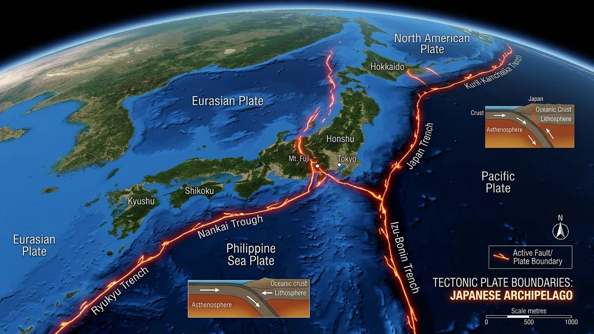
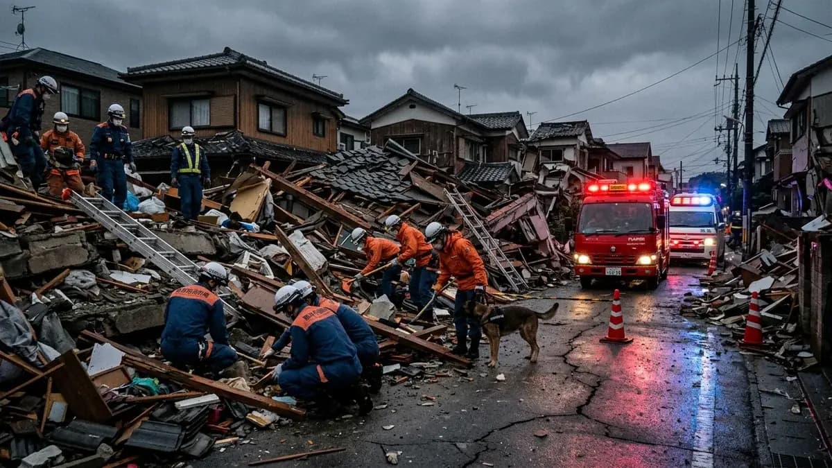
The violent 7.1 magnitude earthquake that struck Kumamoto Prefecture on the island of Kyushu has reignited debates regarding Japan's geological vulnerability. The event occurred on the afternoon of July 28, 2026, reaching the maximum intensity level on the Japanese seismic scale. The tremor resulted in fatalities, infrastructure collapses, and a severe explosion at a shopping mall in Kashima, attributed to underground gas leaks. This recent factual disaster reminds the world that the Japanese archipelago rests upon one of the most complex tectonic zones on the globe.
Geological investigations indicate that the constant movement of plates beneath Kyushu accumulates energy silently for decades before catastrophic ruptures occur. The Kumamoto tremor affected key transportation services and cut off electricity supply to thousands of local households. The response from emergency teams was immediate, but the threat of strong aftershocks keeps the population on high alert. Experts warn that the danger of landslides remains high due to unstable soil on nearby mountain slopes.
This ground instability is exacerbated by severe weather events that weaken Kyushu's rocky slopes throughout the year. Scientific monitoring of these structural changes in the soil is detailed in environmental reports that track the integrity of slopes and forest hills. Analyzing these interactions between weather and geology is documented in landslide studies, such as the hillside disasters described on the portal. Understanding these factors helps predict the areas most vulnerable to secondary collapses induced by earthquakes.